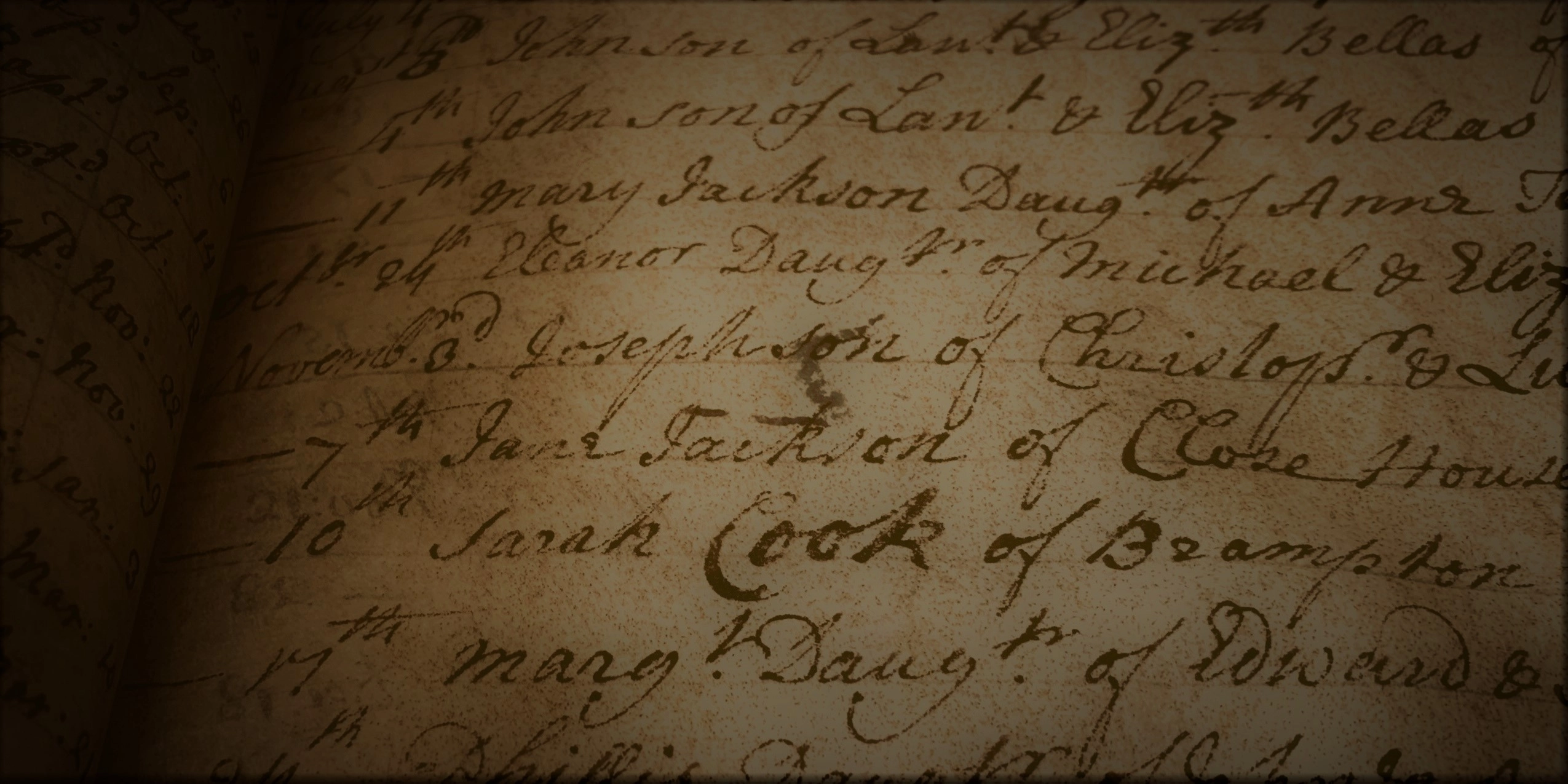
|

WHAT IS THE NBGS?

A comprehensive & catalogued solution

The National Burial Grounds Survey (NBGS) is a seven-year project to survey and accurately map all Church of England (CoE) churchyards, in England, diocese by diocese, parish by parish, church by church. The Cathedral and Church Buildings Division of the Church of England have mapped the location of all their churchyards (including extensions and other burial grounds), which can be viewed on the Church Heritage Record. The next phase is the NBGS which will record every square metre of every churchyard (including the church building), photograph all the visible memorials and scan and transcribe all the parish registers, before linking the data to provide one, valuable solution. Once completed, the extent and exact location of all the churchyards and their features will be known, and their valuable historic records preserved. Photographs of memorials (excepting mobile, very recent or sensitive examples), some of which may deteriorate over the next few years, fall down or be laid flat, will provide a comprehensive catalogue. All the information will be in one place and of a consistent standard and quality.

|

None

INFORMATION FOR CHURCHES

How can churches get involved?

Each diocese will sign up to take part in the project. Once this has been received for your diocese, each parish’s PCC will be contacted to ‘activate’ the project locally, by providing individual permission to access the church registers and external/internal areas of the church for the purpose of surveying and memorial photography. To check whether your church have signed up, you can contact your PCC, or email enquiries@agintl.org

|

VIEW YOUR DIOCESE

COMPLETED
IN PROGRESS
PENDING
Not Yet Signed Up

The National Burial Grounds Survey (NBGS) is a seven year project to survey and accurately map all Church of England (CoE) churchyards, in England, diocese by diocese, churchyard by churchyard. To check if your diocese has signed up, use the interactive map.

Status
Other

|

OUR SERVICES

What are the benefits of the NBGS?

  • Provides parishes with a highly efficient tool to help manage their churchyards
  • Maintains a consistent standard for all records and information
  • Provides a detailed, up-to-date and accurate on-screen churchyard map showing the location of each memorial, the footprint of the church building and other details such as trees, paths, buildings, benches etc.
  • Helps parishes to manage future records
  • Helps visitors to find where their relatives are buried
  • Provides support for faculty applications and churchyard management plans, such as enabling measurements of distance, area and much more
  • Protects parish registers safely and securely, mitigating the risk of the originals becoming lost or deteriorating
  • Helps to log and track the biodiversity of churchyards
  • Becomes a tremendous asset to education and research facilities and maintain their burial records

|

CONTACT US

Show your interest

Complete and submit the form below or give us a call on 01768 216768